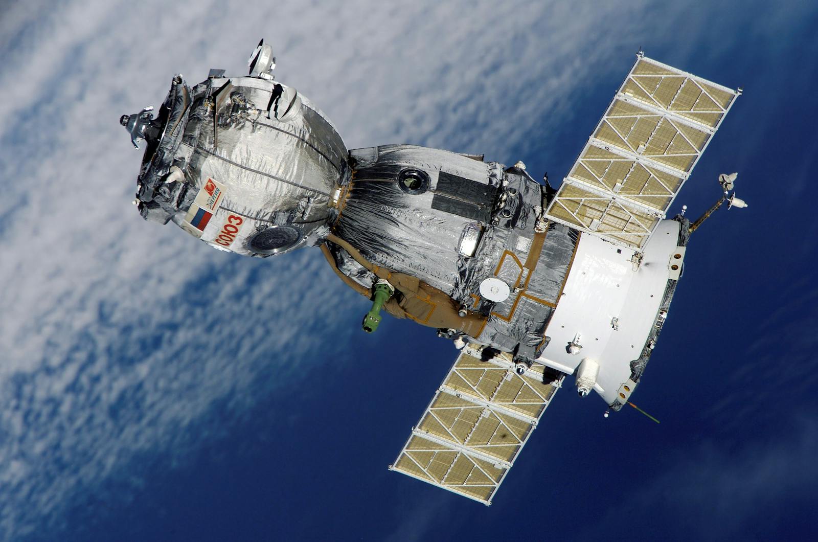
Satellite data is an emerging tool in trading, providing traders and investors with unique insights into economic trends, agricultural productivity, and various market sectors. Here’s a detailed look at how satellite data is used for trading:
Types of Satellite Data Used in Trading
- Optical Imagery: High-resolution images of the Earth’s surface capture real-time activities, such as port traffic, crop growth, or urban expansion. These images provide details about physical structures and human activities that can impact markets.
- Infrared and Thermal Data: Infrared sensors can measure temperature differences, which help track things like crop health, water temperatures, and industrial activity.
- Synthetic Aperture Radar (SAR): Unlike optical imagery, SAR can penetrate clouds and is useful in all weather conditions, making it ideal for monitoring activities such as shipping and industrial operations.
Applications of Satellite Data in Different Sectors
- Agriculture: Satellite data monitors crop growth, soil moisture, and rainfall patterns, giving insights into crop yield expectations. For instance, if satellite data shows a reduction in crop area or poor crop health, it could signal a potential increase in crop prices due to reduced supply.
- Energy: Satellite data captures the level of activity in oil fields, natural gas flaring, and coal mine productivity. For example, by observing oil storage tanks’ shadows and inferring the tank levels, traders can estimate oil supply and adjust their positions accordingly.
- Retail and Consumer Behavior: Satellite imagery monitors foot traffic in retail outlets and shopping centers, providing clues about consumer spending patterns. High activity around retail stores during holidays, for instance, can indicate stronger sales performance, boosting the stock prices of those retailers.
- Shipping and Logistics: Satellite data can track ships, monitor port congestion, and estimate trade flows, offering insights into global trade activity. When traders observe higher shipping activity, it may indicate a rise in demand for certain goods, affecting stocks in related sectors.
How Satellite Data is Processed for Trading Insights
- Image Analysis: AI and machine learning algorithms process images to recognize patterns like counting cars in parking lots or measuring crop growth. These insights are then compiled to predict economic performance.
- Data Fusion: Satellite data is combined with other data sources, such as weather reports, traffic information, and economic indicators, to form a more accurate prediction model.
- Real-Time Monitoring: Some satellite providers offer live monitoring of assets, enabling traders to react instantly to changes in economic indicators, like sudden drops in industrial activity or an unexpected increase in oil reserves.
Advantages of Using Satellite Data in Trading
- Non-Traditional Insights: Satellite data provides a unique view of economic activity beyond traditional data sources, offering competitive insights that can help traders identify trends before they appear in financial reports.
- Predictive Accuracy: Since satellite data offers real-time information, it allows traders to make predictions with higher accuracy, especially in sectors like agriculture and energy.
- Global Reach: Satellites cover vast areas of the Earth, providing insights into economic activities in regions that might otherwise lack reliable data.
Challenges and Limitations
- Data Processing Costs: Analyzing satellite data requires significant computational power and expertise, which can be expensive and complex.
- Interpretation Complexity: Translating satellite data into actionable insights is challenging, and there is a risk of misinterpretation if not analyzed correctly.
- Time Lag: Although satellite data is often real-time, delays in processing or weather interference can cause time lags that impact trading accuracy.
Future of Satellite Data in Trading
As technology advances, satellite data will likely become more accurate, cheaper to process, and accessible. Machine learning models continue to improve in interpreting satellite data, and as the market grows, we may see more satellite data providers offering niche data insights tailored to specific trading needs.
In summary, satellite data gives traders an edge by providing real-time insights into global economic activities, from crop yields to shipping patterns. For traders who can process and interpret it effectively, satellite data is an invaluable tool in anticipating market shifts and making more informed trading decisions.


Leave a Reply